What we shoot, and what for.
Site surveys & mapping
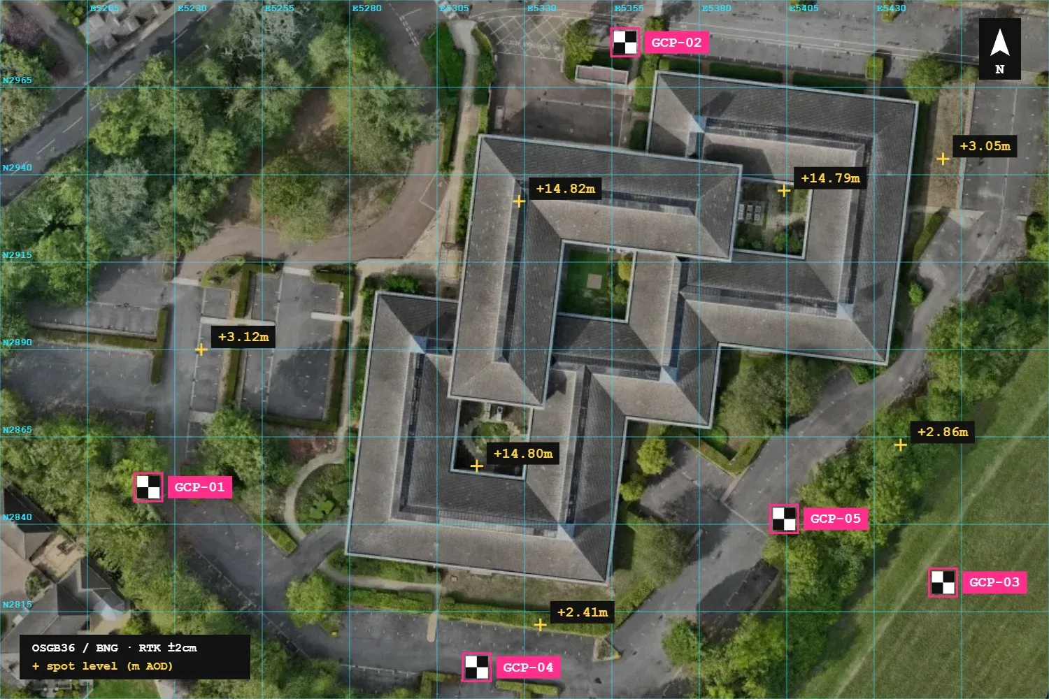
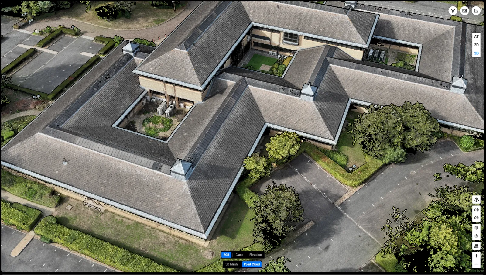
Orthomosaics, point clouds, 3D models and height maps from the Matrice 4E and DJI Terra — survey-grade data for developers, contractors and architects.
See survey outputs ↓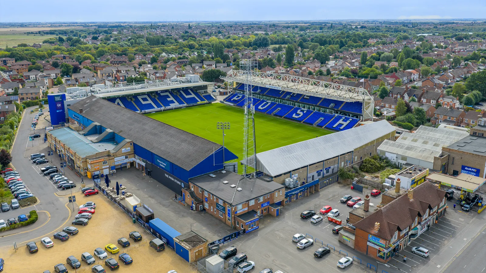
Commercial & tourism
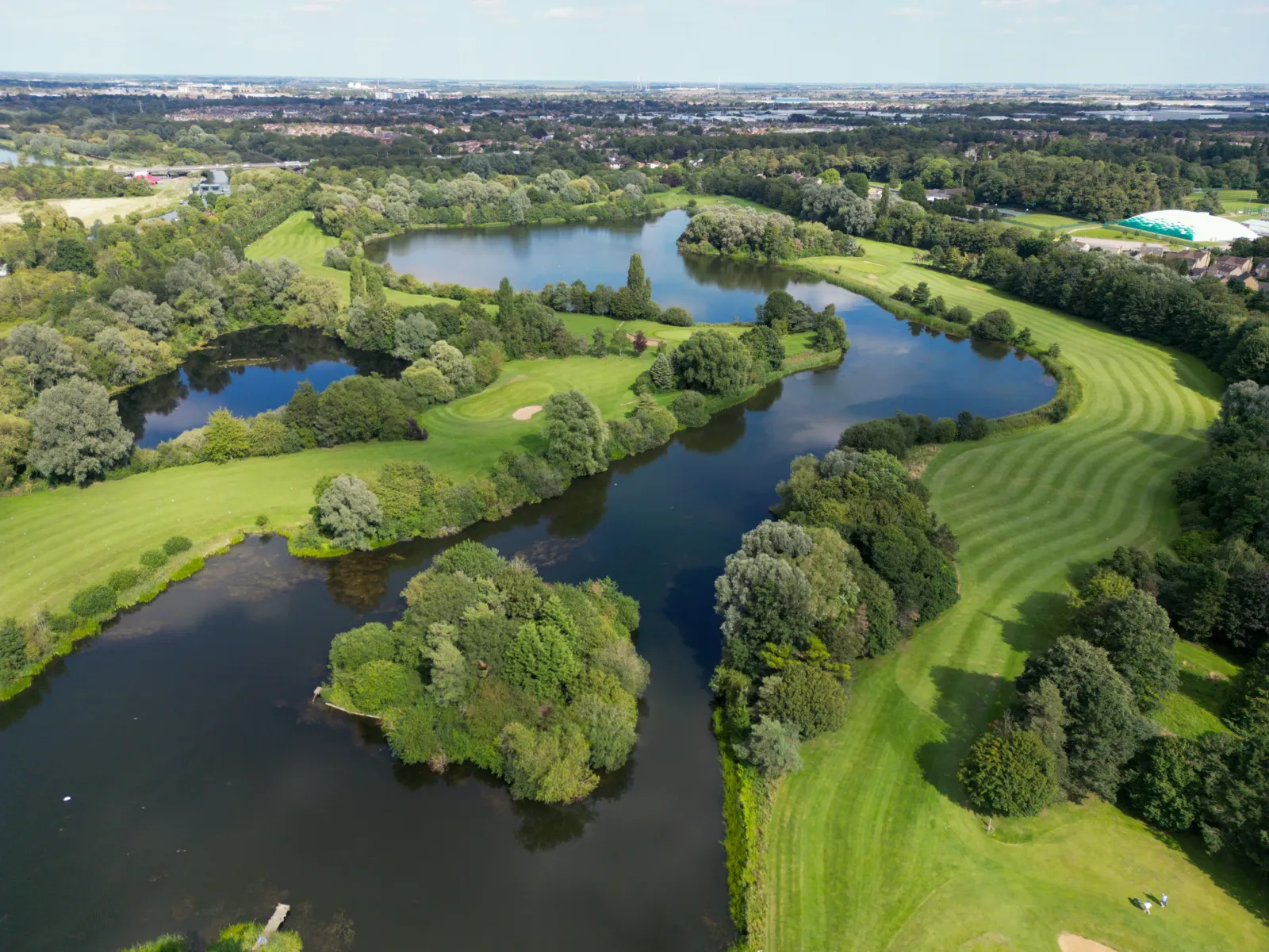
Business parks, venues and destinations shown at their true scale, in context with everything around them.
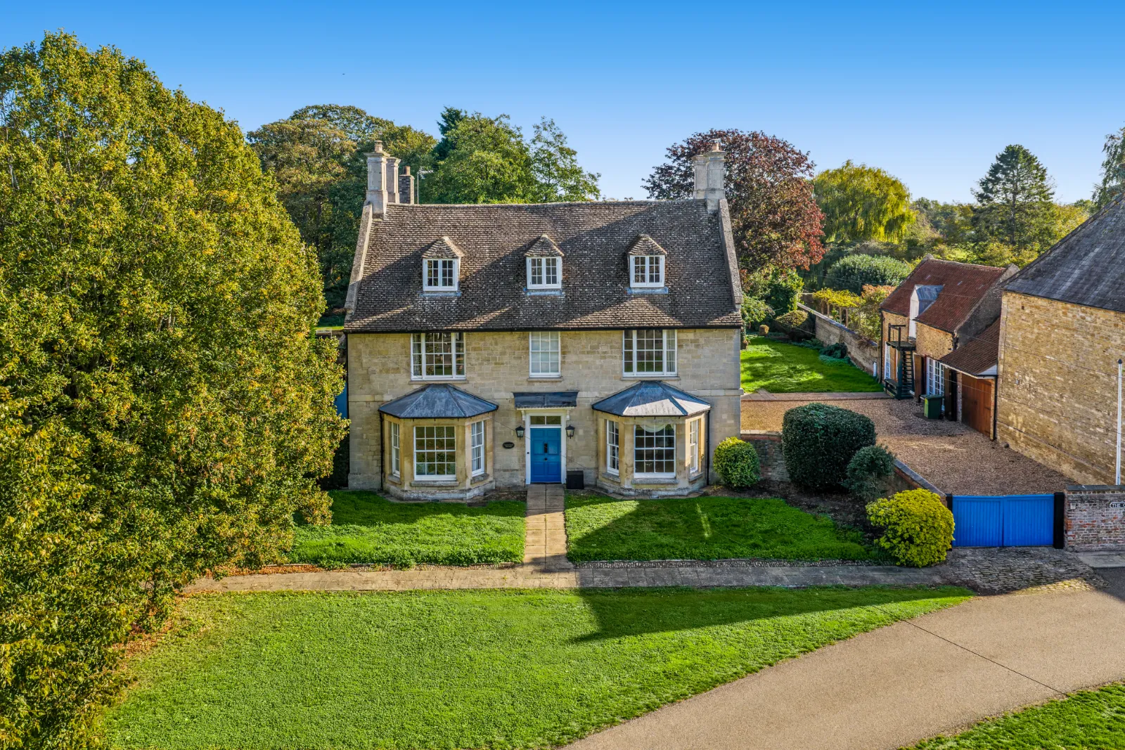
Property & estate agents
Aerial stills that show the plot, the setting and what is nearby — the shot that makes a listing stand out on Rightmove.
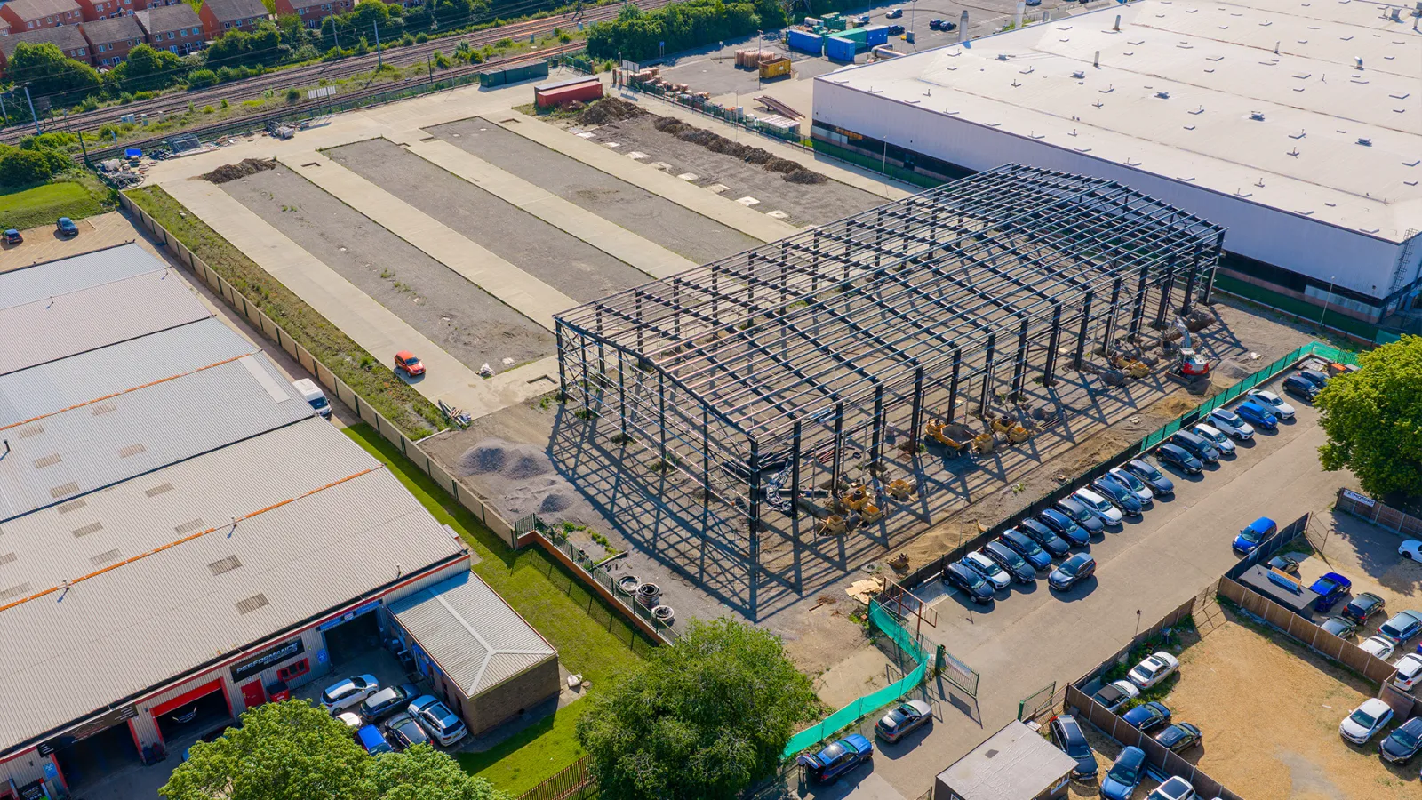
Construction progress
Repeat flights from the same points each week or month, so developers, investors and site teams can see progress at a glance.
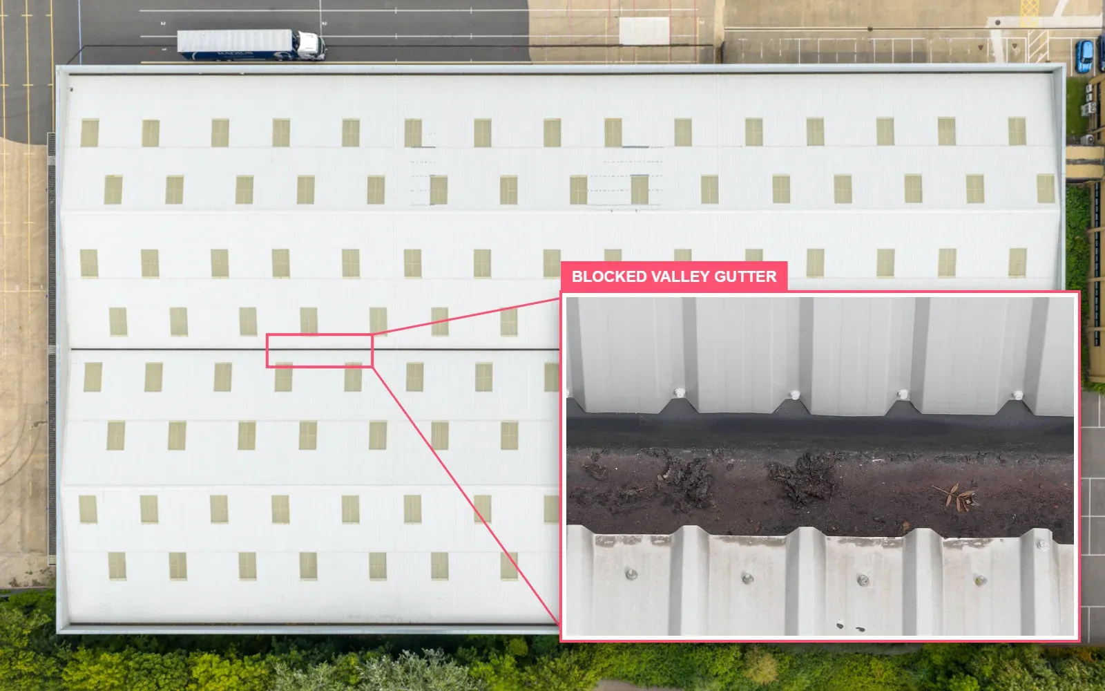
Roof & structure inspection
High-resolution imagery and navigable video for condition surveys, insurance claims and quotes without scaffolding.
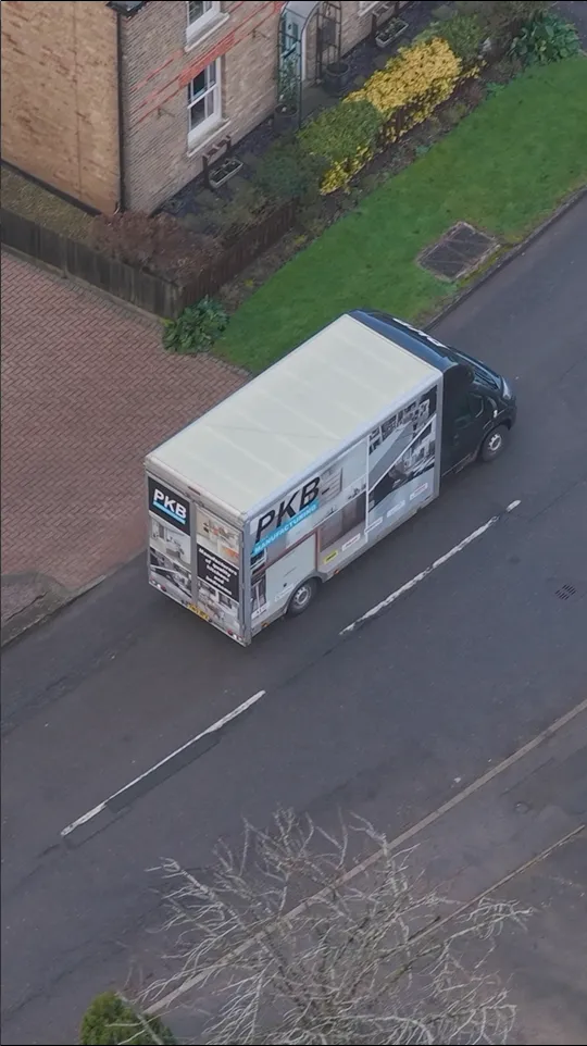
Social reels & vertical video
Short, punchy aerial clips shot and cut in 9:16 for Instagram, TikTok and Facebook — ready to post.
Three drones. The right one for every job.
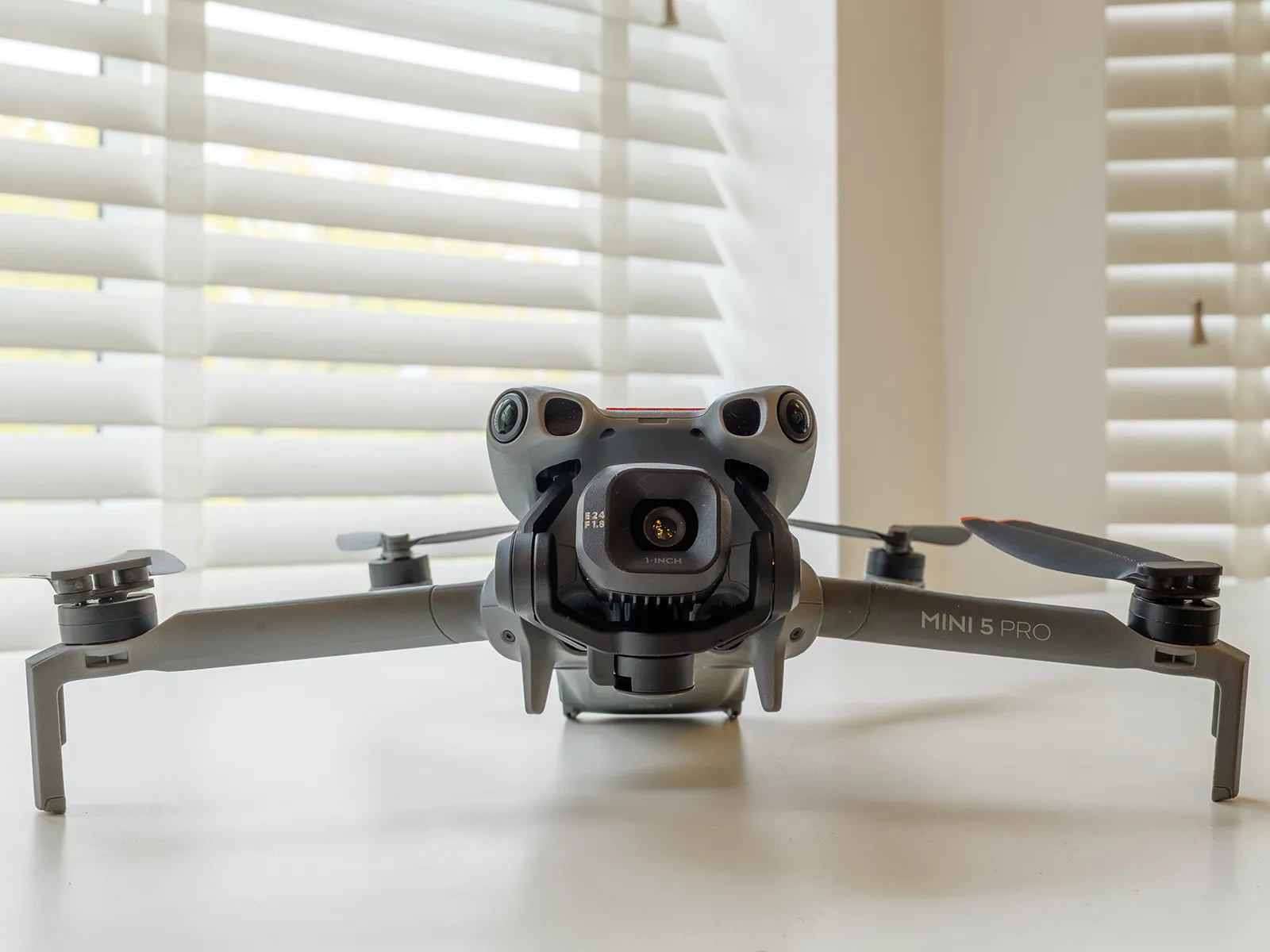
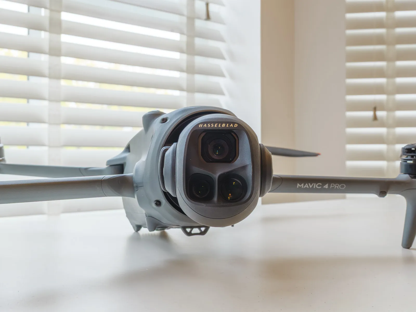
There isn’t one drone that does everything well, so we fly three. Each one is chosen for what the job needs: getting close to people, cinematic quality or survey-grade data.
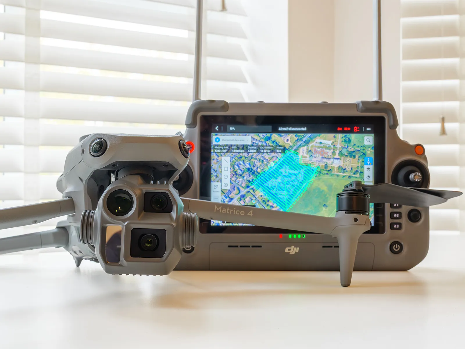
Survey-grade data, not just pretty pictures.
Using the DJI Matrice 4E and DJI Terra, we capture and process site surveys for developers, contractors, architects and landowners — faster and safer than walking the site, and ready to drop into your CAD or GIS software.
How a shoot actually goes.
Airspace check
We check restrictions, permissions and landowner consent, and tell you straight away if a site is a problem.
Shot list
We agree what the images are for — portal, brochure, survey, social — because that changes how we fly it.
Fly
One pilot, one spotter where needed, risk assessment done, and a weather call made early rather than hopefully.
Edit & deliver
Graded stills and cut video in the formats you need, including vertical versions for social.
A mate with a drone, us, or a big production company?
The legal and practical bits.
Are you insured?
Yes — £5m public liability as standard, and we will send the certificate to your site manager without being chased.
What about bad weather?
We reschedule rather than deliver grey, shaky footage. No charge for a weather move.
How far do you travel?
Peterborough and Cambridgeshire as standard, wider UK for larger jobs. Travel is quoted upfront, never added later.
Licensed, insured, permitted.
Tell us what you need. We’ll reply within 24 hours.
A fixed-price proposal, a clear timeline and zero jargon. No obligation.
Frequently asked questions.
Q> What formats do survey deliverables come in?+
Orthomosaics as GeoTIFF, point clouds as LAS, 3D models as OBJ and boundaries as KML — ready for AutoCAD, Revit, QGIS and most survey software. Other formats on request.
Q> How accurate are your surveys?+
On survey jobs we deploy a DJI D-RTK 3 Multifunctional Station, which provides RTK corrections to the Matrice 4E for centimetre-level positioning. We add surveyed ground control and check points to tie the data to OS grid or your site datum, and supply an accuracy report with every survey.
Q> Are you licensed and insured?+
Yes — CAA-certified A2 CofC pilots with £5m public liability cover. We send the certificate to your site manager without being chased.
Q> How high a resolution do we get?+
Up to 100-megapixel aerial stills and 6K video, which is plenty for print, hoardings and detailed inspection work.
Q> What if the site is in restricted airspace?+
Peterborough and the surrounding area has plenty of it. We check restrictions and apply for permissions as part of the booking, and tell you straight away if a site is a problem.
Q> How quickly do we get the footage?+
We’ll confirm the turnaround when you book. Edited stills and video come in the formats you need, including vertical cuts for social. Rush turnaround is available.
Q> What happens if the weather turns?+
We reschedule rather than deliver grey, shaky footage — and there is no charge for a weather move.